Beaver County Pennsylvania has 20 places on the National Register of Historic Places including 6 places of National significance and 2 places of Statewide significance. Significant places include Beginning Point of the U.S. Public Land Survey, Economy Historic District, Legionville, Old Economy and Quay, Matthew S., House.
Many famous people are associated with these Beaver County historic places including Matthew S. Quay, George Rapp, Gen. Anthony Wayne, Matthew Stanley Quay, William McGuffy and Edward Dempster Merrick.
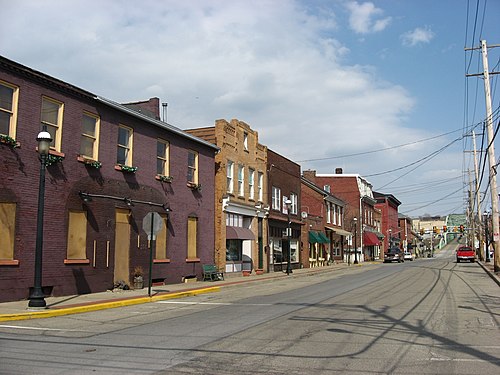
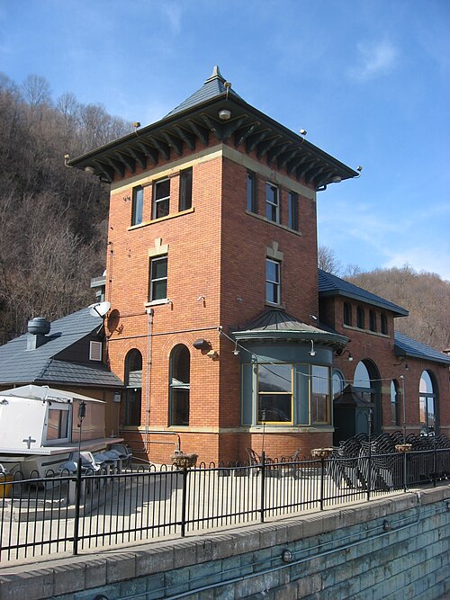
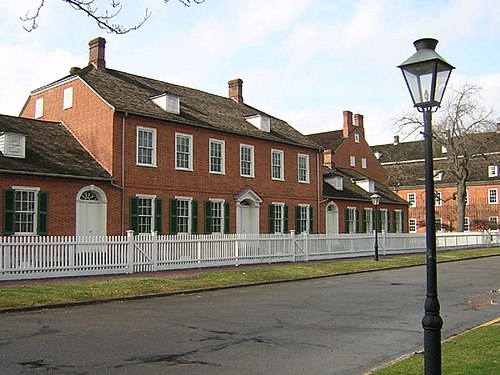
Some of the country's most noteable architects helped create the Beaver County places including CCC Camps SP-6 and SP-16, Legion of the United States, Harmony Society, West Penn Bridge Co., U.S. Corps of Engineers, F.J. Osterling, Hayward & Cain, Wilson,A & S, Co. and John L. Stuard. Prominent architectural styles found in Beaver Country are Greek Revival, Italianate and Queen Anne.
Historic Significance:
Event, Architecture/Engineering
Area of Significance:
Engineering, Communications
Period of Significance:
1750-1799
Historic Function:
Industry/Processing/Extraction
Historic Sub-function:
Communications Facility
Current Function:
Recreation And Culture
Current Sub-function:
Monument/Marker
The Beginning Point of the U.S. Public Land Survey, located on the state line between Columbiana County, Ohio, and Beaver County, Pennsylvania, is a site of monumental significance in the expansion and development of the United States. Established on September 30, 1785, by Geographer of the United States Thomas Hutchins, this point marks the origin of the first mathematically designed, federally conducted land survey system in world history. Authorized by the Land Ordinance of 1785, the survey of the "Seven Ranges" initiated from this precise location on the north bank of the Ohio River. This system of rectangular townships and ranges replaced the chaotic metes-and-bounds system of the colonial era, providing an orderly, democratic method for surveying, selling, and settling millions of acres of the public domain as the nation expanded westward to the Pacific Ocean.
The physical marker commemorating this historic achievement is situated along the state line highway, just north of the original, now-submerged point of beginning on the riverbank. Erected in 1960 by the East Liverpool Historical Society and engineering associations, the granite monument serves as a tangible link to the birth of the Public Land Survey System (PLSS), which fundamentally shaped the geographic, agricultural, and urban landscapes of the American West. Designated a National Historic Landmark in 1965 and subsequently listed on the National Register of Historic Places in 1966, the site honors a foundational engineering feat that facilitated orderly westward migration and secured the property rights that underpinned early American economic growth.