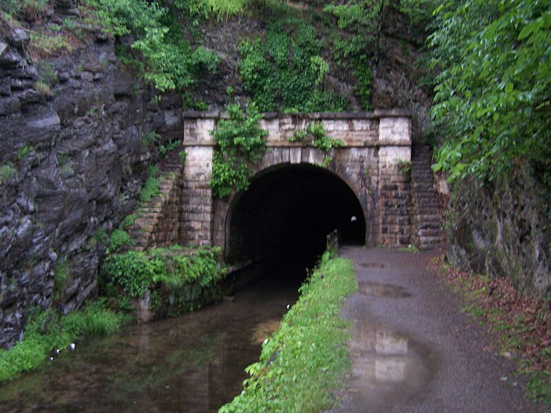
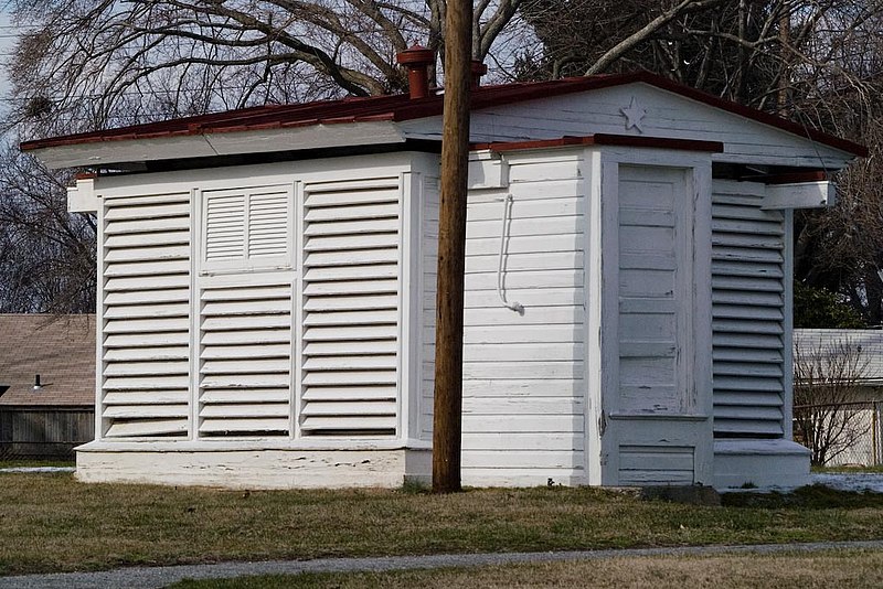
Montgomery County Maryland (Historic Districts) has 26 places on the National Register of Historic Places including 7 places of National significance and 8 places of Statewide significance. Significant places include Chesapeake and Ohio Canal National Historical Park, Chesapeake and Ohio Canal National Historical Park, Chesapeake and Ohio Canal National Historical Park, Friends Advice and Gaithersburg Latitude Observatory.
Several famous people are associated with these Montgomery County historic places including et al. Barton Clara and Gen. Albert C. Wedemeyer.
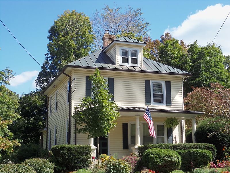
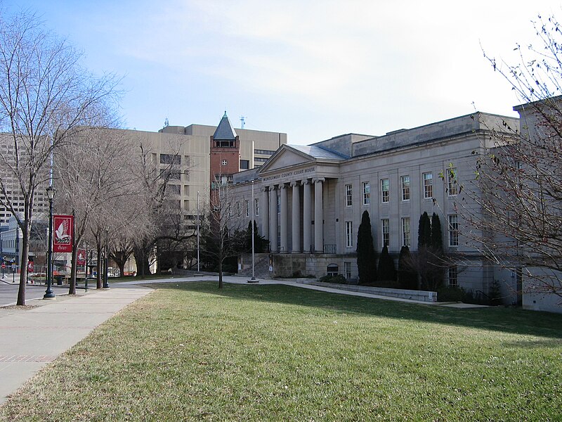
Some of the country's most noteable architects helped create the Montgomery County places including NPS, FHwA, Benjamin Wright, Edwin Smith, Milton Grigg, Edward Woltz, Marshall & Co. Maddux, T.M. Medford, Alexander Richter and Charles M. Goodman. Prominent architectural styles found in Montgomery Country are Federal, Late Victorian and Late 19th And 20th Century Revivals.


.JPG)
.jpg)