Hunterdon County New Jersey (Page 2) has 50 places on the National Register of Historic Places including 2 places of National significance and 2 places of Statewide significance. Significant places include New Hampton Pony Pratt Truss Bridge, Reaville Historic District, Reading, John, Farmstead and Thatcher House and Mechlins Corner Tavern.
Many famous people are associated with these Hunterdon County historic places including John Reading, Cornelius W. Larison, Benjamin DeWitt Riegel, Henry Dusenbery, John Reading Jr. and Adrian Lane.
Some of the country's most noteable architects helped create the Hunterdon County places including William Cowin, Asa Dilts, James Gamble Rogers, Eli Bosenbury, J.W. Scott, John A. Green and American Bridge Company. Prominent architectural styles found in Hunterdon Country are Greek Revival, Federal and Italianate.
Historic Significance:
Event, Architecture/Engineering
Architectural Style:
Greek Revival, Federal
Area of Significance:
Commerce, Community Planning And Development, Architecture
Period of Significance:
1900-1924, 1875-1899, 1850-1874, 1825-1849, 1800-1824
Historic Function:
Agriculture/Subsistence, Commerce/Trade, Domestic, Education, Religion, Social
Historic Sub-function:
Department Store, Meeting Hall, Religious Structure, Restaurant, School, Single Dwelling, Storage
Current Function:
Agriculture/Subsistence, Domestic, Health Care, Religion
Current Sub-function:
Religious Structure, Sanatorium, Single Dwelling, Storage
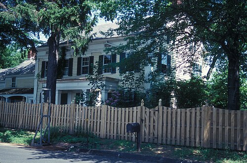
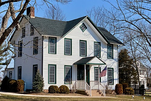
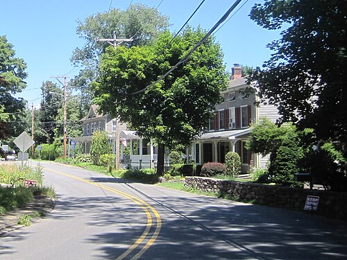
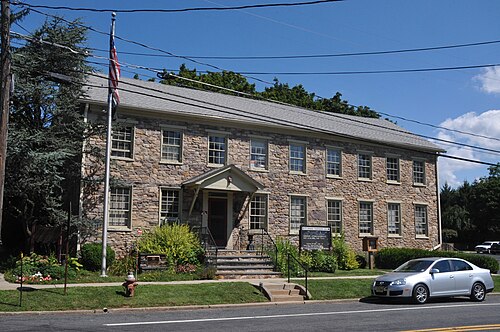
If you drive down Old York Road today, you might speed right past Reaville without realizing you just crossed through a major piece of New Jersey's agrarian history. It started simple. Back in the late 1700s, people called this spot Quick's Corner. Locals gathered at a basic tavern run by the Quick family, drinking cider and trading news. But then Rynier Reaville bought up the land. By the mid-1800s, the dirt crossroads transformed into a bustling hamlet. Blacksmiths hammered out iron shoes for horses, and a wheelwright shop kept farm wagons moving. These weren't grand estate owners. They were tough, dirt-under-the-fingernails farmers who needed a central hub to buy molasses, ship grain, and argue about local politics. The federal government recognized this specific slice of rural life in 2002, marking it as District 02000433.
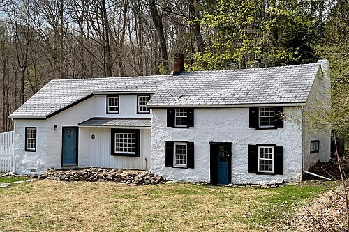
The surviving buildings tell the real story. Look at the Reaville Presbyterian Church, built in 1850. It dominates the intersection with its stark white Greek Revival frame and tall spire. Farmers built it to prove they were civilized. Right across the road sits the old general store, which doubled as the post office starting in 1848. Its wide porch once held crates of local peaches. When the railroad bypassed Reaville in the late 19th century, the local economy froze. That bypass actually saved the place. It prevented modern developments from wiping out the historic timber-frame houses. Today, thirty-two historic structures still stand. They look almost exactly as they did during the Civil War.


