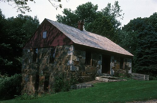
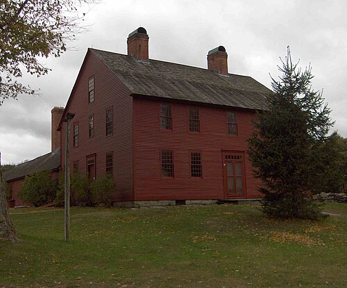
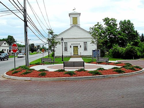
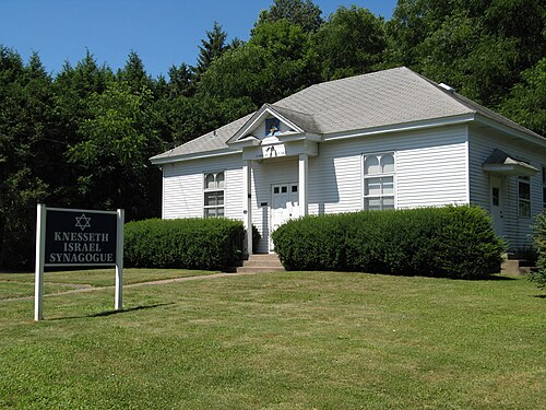
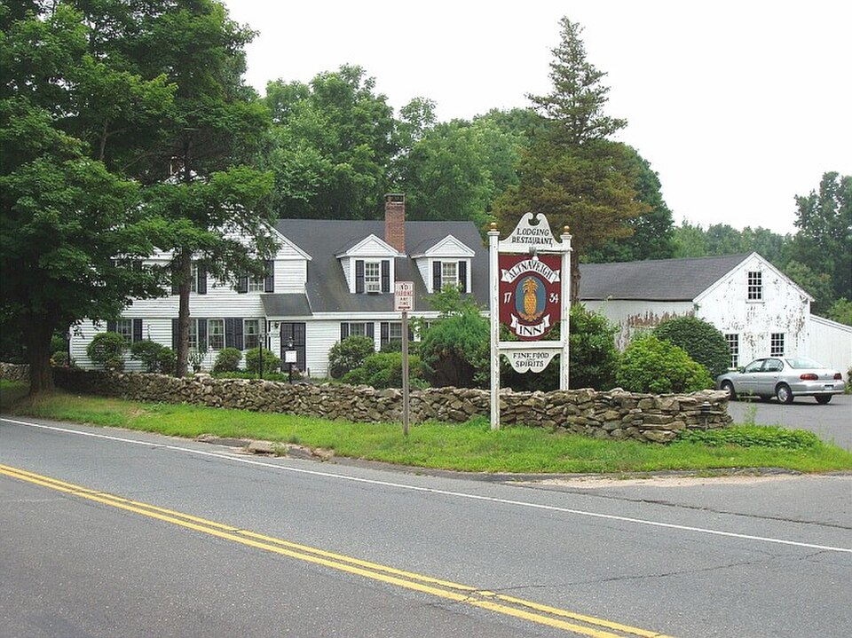
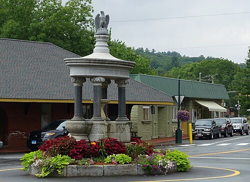
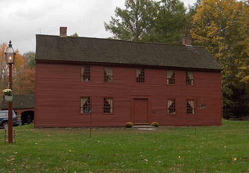
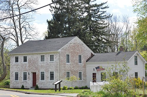
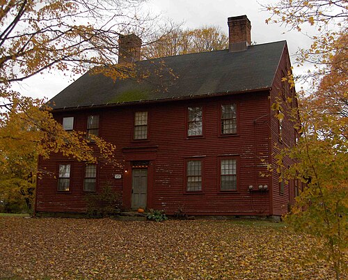
Tolland County Connecticut has 50 places on the National Register of Historic Places including 5 places of National significance and 25 places of Statewide significance. Significant places include Fifth Camp of Rochambeau's Infantry, Hale, Nathan, Homestead, March Route Rochambeau's Army--Hutchinson Road, March Route of Rochambeau's Army: Bailey Road and Oliver White Tavern.
Several famous people are associated with these Tolland County historic places including George Dudley Seymour, John Warburton, Ephraim Gurley and Eleazar Pinney.
Some of the country's most noteable architects helped create the Tolland County places including Edwin Fitch, Malcom Robinson Knox, Coggswell, Harry & Davidson, Abner, Charles A. et al Platt, Cudworth,Woodworth,& Thompson, Nelson Chaffee, Wilton E. Little, Charles N. Lowrie, Nathaniel O. Kellogg and Merrick Marcy. Prominent architectural styles found in Tolland Country are Greek Revival, Federal and Colonial.
Historic Significance:
Event, Information Potential
Area of Significance:
Historic - Non-Aboriginal, Military
Period of Significance:
1750-1799
Historic Function:
Defense
Historic Sub-function:
Military Facility
Current Function:
Agriculture/Subsistence
Current Sub-function:
Agricultural Fields
In June 1781, nearly five thousand French soldiers under the Count de Rochambeau tramped through Connecticut. They wanted Cornwallis. To get to him, they had to march hundreds of miles, stopping each night to pitch heavy canvas tents and cook rations. The Bourbonnais Regiment claimed Bolton first. They arrived on June 21, sweating in their thick woolen uniforms as they climbed the steep ridge. Three other regiments followed in daily shifts. Think of the noise. Thousands of French-speaking men, hundreds of pack horses, and heavy brass cannons tore up the quiet Yankee pastures. Local farmers watched in sheer disbelief.
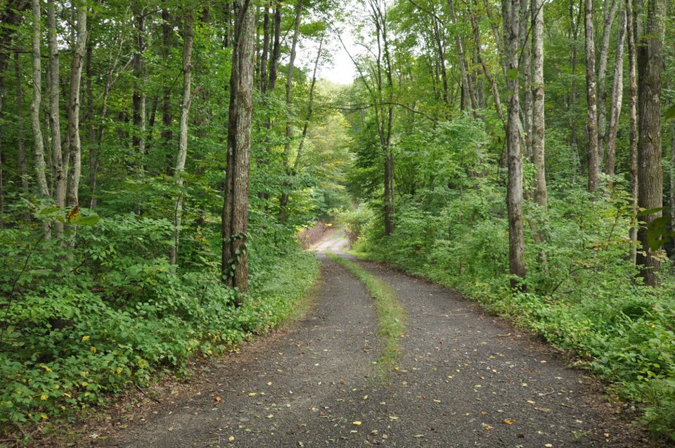
Today, the site looks like ordinary Connecticut woods. Just trees. But beneath the soil lies physical proof of the alliance that won the Revolutionary War. Archaeologists digging in Bolton found French coins, lost lead musket balls, and dropped uniform buttons. Some pewter buttons still show the numbers "85" and "13." Those belonged to specific regiments. The French actually used this ground twice, stopping here again in 1782 on their triumphant march back north. While developers paved over most other campsites along the route, this Tolland County ridge stayed quiet. It preserved history.
Historic Significance:
Event
Area of Significance:
Military
Period of Significance:
1750-1799
Historic Function:
Transportation
Historic Sub-function:
Road-Related
Current Function:
Transportation
Current Sub-function:
Road-Related
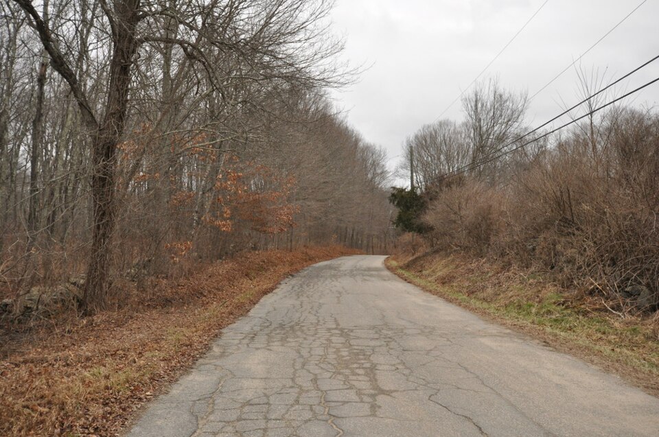
In June 1781, nearly five thousand French soldiers tramped down a dusty Connecticut cart path. They wore thick wool. The summer humidity was brutal. General Rochambeau led this massive column, hauling heavy brass artillery and baggage wagons pulled by hundreds of straining oxen, all the way to Yorktown. Today, Hutchinson Road in Andover preserves a rare, unaltered quarter-mile stretch of this exact route. It remains unpaved. Dry-laid stone walls still line the narrow dirt lane, looking much like they did when French boots marched past them. Actually, the road serves as a physical imprint of a desperate military gamble.
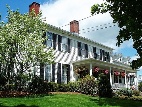
The French forces camped nearby. Specifically, Camp 5 sat just over the hill. These soldiers were not just marching they were living, trading with local farmers, and occasionally losing brass buttons that modern researchers still dig up. Most of Rochambeau's route across Connecticut disappeared under asphalt decades ago. But this section survived. Why Town boundaries and bypassed routes kept developers away. Now, this quiet corridor offers a direct link to the international alliance that defeated Cornwallis. It is just dirt and stone, but history feels heavy here.
Historic Significance:
Architecture/Engineering, Event
Architectural Style:
Other
Area of Significance:
Military, Architecture
Period of Significance:
1750-1799
Historic Function:
Commerce/Trade, Domestic
Historic Sub-function:
Restaurant, Single Dwelling
Current Function:
Domestic
Current Sub-function:
Single Dwelling
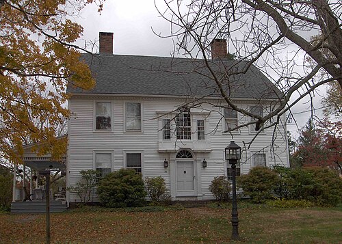
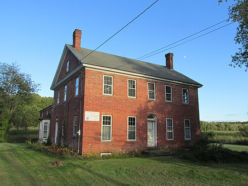
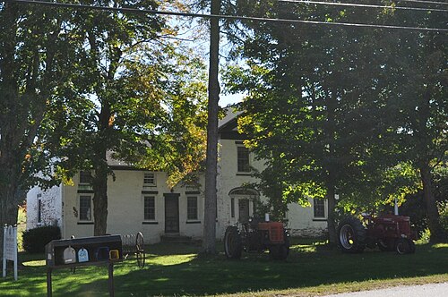
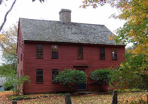
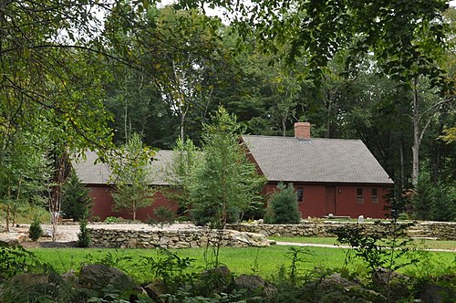
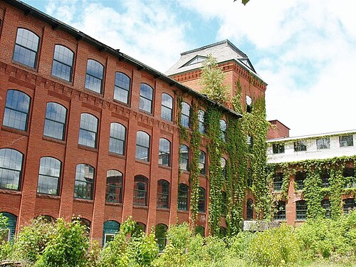
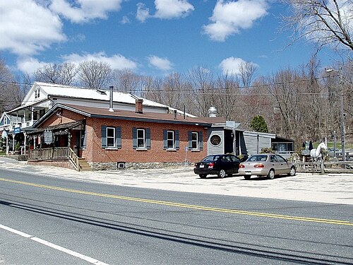
Oliver White needed money. He bought some rocky Coventry acreage in 1763 and realized farming alone wouldn't pay the bills. He opened a tavern. In the 1700s, taverns weren't just places to get drunk on hard cider. They served as informal town halls, post offices, and courtrooms. White's place sat right on an active overland route, catching weary travelers riding between Hartford and Norwich. Step inside back then, and you would smell woodsmoke, wet wool, and cheap rum. It was loud.
During the Revolutionary War, French soldiers under General Rochambeau marched right past the property. Imagine the sheer chaos of thousands of foreign troops clogging the narrow dirt road. White likely sold them beef. Or at least some rum. The building survived the brutal highway modernization projects of the mid-twentieth century that leveled so many other local structures. Architecturally, the tavern is a survivor. Just look at the massive central chimney. It anchors the whole pine and oak timber-frame system. Most old New England taverns got demolished or remodeled beyond recognition, but this one kept its original eighteenth-century bones. The National Register added it in 2002. Why Because it shows us how average Connecticut colonists actually lived, drank, and bitched about the government.