Vacant / Not In Use
Indiana - Posey County
Posey County Indiana has 24 places on the National Register of Historic Places including 5 places of National significance and 9 places of Statewide significance. Significant places include Bentel, George, House, Mann Site, Murphy Archeological Site, New Harmony Historic District and Scholle, Mattias, House.

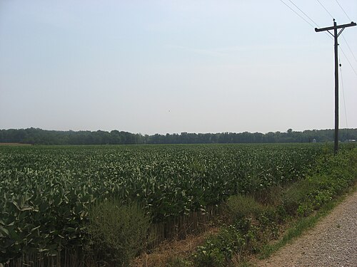
Prehistoric cultural affiliation(s) include Late Mississippian, Caborn-Welborn Phase, American,Rural, Caborn--Welborn Phase, Woodland, Middle Woodland, Middle Mississippian, Paleo-Indian, Middle Woodland Hopewell, Mann Phase and Archaic dating back to 8999 BC.

Several famous people are associated with these Posey County historic places including Robert Owen, Robert Owen and William Gonnerman.

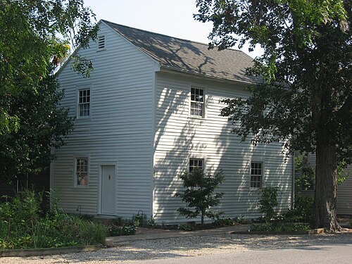
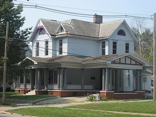
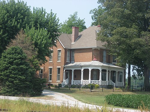
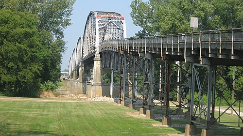
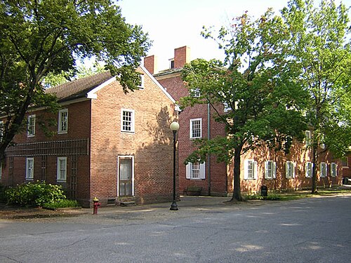
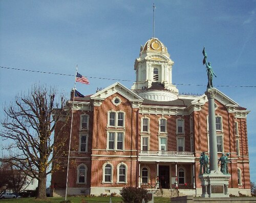
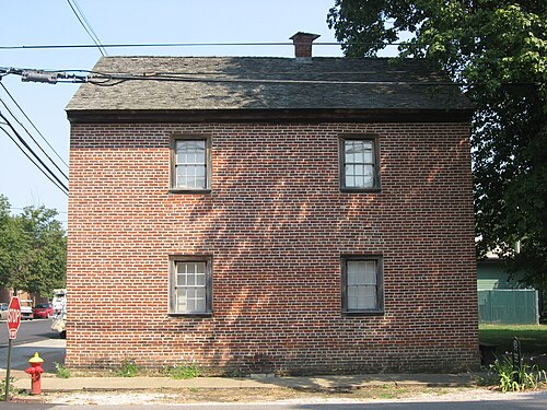
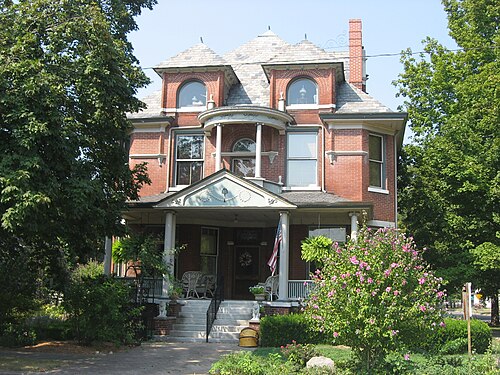
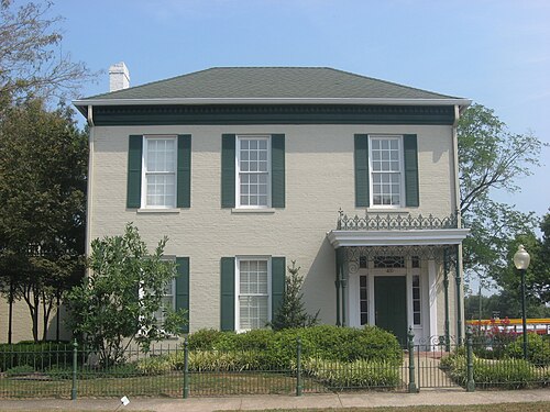
Some of the country's most noteable architects helped create the Posey County places including Rappites, Nashville Bridge Company, Fowler & Thole, Philip Johnson, Edward J. Thole Sr., Josse A. Vrydagh, Clarke,Levi S.,, Parson, Klapp, Brinckerhoff etc, William A. McGregor and F. & Sons Behrick. Prominent architectural styles found in Posey Country are Greek Revival, Romanesque and Italianate.

Ashworth Archaeological Site (12 Po 7) (added 1985 - - #85002137)
Also known as 12 Po 7
Address Restricted , Hovey Lake
Nyttend, Public domain, via Wikimedia Commons
Historic Significance:
Information Potential
Area of Significance:
Prehistoric
Cultural Affiliation:
Late Mississippian, Caborn-Welborn Phase
Period of Significance:
1700-1749, 1650-1699, 1600-1649, 1500-1599, 1499-1000 AD
Owner:
Private
Historic Function:
Domestic, Funerary
Historic Sub-function:
Graves/Burials, Village Site
Current Function:
Agriculture/Subsistence
Current Sub-function:
Agricultural Fields
Bentel, George, House (added 1984 - - #84001224)
Brewery and Granary St. , New Harmony
Nyttend, Public domain, via Wikimedia Commons
Historic Significance:
Event, Architecture/Engineering
Architect, builder, or engineer:
Rappites
Architectural Style:
Other
Area of Significance:
Architecture, Social History
Period of Significance:
1800-1824
Owner:
Private
Historic Function:
Domestic
Historic Sub-function:
Single Dwelling
Current Function:
Domestic
Current Sub-function:
Single Dwelling, Specialty Store
More Information:
The George Bentel House, constructed circa 1815 in New Harmony, Indiana, is an exceptional and rare surviving example of Harmony Society vernacular architecture. Built during the decade-long settlement of the Harmonists (1814?1824), a German Lutheran pietist sect led by George Rapp, the house embodies the highly standardized, efficient timber-frame construction methods developed by the utopian community. George Bentel, a skilled blacksmith and devoted member of the society, occupied this dwelling, which showcases classic Harmonist architectural details including a side-hall plan, heavy timber framing, and unique Dutch biscuit insulation (wooden slats wrapped in clay and straw) between the joists. The residence stands as a physical testament to the Harmonists' remarkable industriousness, communal organization, and distinctive Old World craftsmanship adapted to the Indiana frontier.

Beyond its architectural merit, the George Bentel House holds immense historical significance for its association with the successive utopian social experiments that defined New Harmony. Following the Harmonists' departure to Pennsylvania in 1824, the entire town was purchased by British social reformer Robert Owen to establish a secular, intellectual cooperative. The Bentel House survived this transition and subsequent centuries of municipal development, preserving the tangible domestic history of both the Rappite religious communalists and the Owenite educational reformers. Listed on the National Register of Historic Places in 1984, the home remains a vital contributing resource to the New Harmony Historic District, illustrating the daily lives, domestic scale, and enduring legacy of the early nineteenth-century pioneers who sought to forge a perfect society in Posey County.
Bozeman--Waters National Bank (added 1987 - - #87001768)
Also known as Farmers Bank & Trust Company
19 W. Main St. , Poseyville
Nyttend, Public domain, via Wikimedia Commons
Historic Significance:
Architecture/Engineering
Architect, builder, or engineer:
Fowler & Thole, Thole,Edward J.,Sr.
Architectural Style:
Other, Late 19th And Early 20th Century American Movements
Area of Significance:
Architecture
Period of Significance:
1900-1924
Owner:
Private
Historic Function:
Commerce/Trade
Historic Sub-function:
Financial Institution
Current Function:
Commerce/Trade
Current Sub-function:
Financial Institution
More Information:
Elliott, James, Farm (added 2003 - - #03001312)
Also known as Elm Place, 129-455-17002
Church St.--IN 66 , New Harmony
Nyttend, Public domain, via Wikimedia Commons
Historic Significance:
Architecture/Engineering
Architect, builder, or engineer:
Elliott, James
Architectural Style:
Greek Revival
Area of Significance:
Architecture
Period of Significance:
1900-1924, 1875-1899, 1850-1874, 1825-1849
Owner:
Private
Historic Function:
Agriculture/Subsistence, Domestic
Historic Sub-function:
Animal Facility, Single Dwelling, Storage
Current Function:
Agriculture/Subsistence, Domestic
Current Sub-function:
Animal Facility, Single Dwelling, Storage
More Information:
Epple, Ludwig, House (added 1984 - - #84001227)
520 Granary St. , New Harmony
Nyttend, Public domain, via Wikimedia Commons
Historic Significance:
Event, Architecture/Engineering
Architect, builder, or engineer:
Rappites
Architectural Style:
Other
Area of Significance:
Architecture, Social History
Period of Significance:
1800-1824
Owner:
Private
Historic Function:
Domestic
Historic Sub-function:
Single Dwelling
Current Function:
Domestic
Current Sub-function:
Multiple Dwelling
More Information:
Gonnerman, William, House (added 1985 - - #85003192)
521 W. Second St. , Mt. Vernon
Nyttend, Public domain, via Wikimedia Commons
Historic Significance:
Person
Historic Person:
Gonnerman,William
Significant Year:
1890
Area of Significance:
Politics/Government, Industry
Period of Significance:
1900-1924, 1875-1899
Owner:
Private
Historic Function:
Domestic
Historic Sub-function:
Secondary Structure, Single Dwelling
Current Function:
Domestic
Current Sub-function:
Multiple Dwelling
More Information:
Hagemann, Frederick and Augusta, Farm (added 1993 - - #93000180)
Also known as 129-349-35043
Jct. of IN 62 and IN 69, SW corner , Mount Vernon
Nyttend, Public domain, via Wikimedia Commons
Historic Significance:
Architecture/Engineering, Event
Architect, builder, or engineer:
Unknown
Architectural Style:
Queen Anne
Area of Significance:
Agriculture, Architecture
Period of Significance:
1925-1949, 1900-1924, 1875-1899
Owner:
Private
Historic Function:
Agriculture/Subsistence, Domestic
Historic Sub-function:
Animal Facility, Processing, Single Dwelling
Current Function:
Agriculture/Subsistence, Domestic
Current Sub-function:
Animal Facility, Single Dwelling
More Information:
Harmony Way Bridge (added 2007 - - #07001030)
Also known as New Harmony Bridge, 129-455-17005
IN 66/IL 14 , New Harmony
Nyttend, Public domain, via Wikimedia Commons
Historic Significance:
Architecture/Engineering, Event
Architect, builder, or engineer:
Nashville Bridge Company, Parson, Klapp, Brinckerhoff etc
Architectural Style:
Other
Area of Significance:
Engineering, Transportation
Period of Significance:
1925-1949
Owner:
Private
Historic Function:
Transportation
Historic Sub-function:
Road-Related
Current Function:
Transportation
Current Sub-function:
Road-Related
More Information:
Hovey Lake Archaeological District (added 1985 - - #85002130)
Also known as 12 Po 590,592-598,600-602,615-624
Address Restricted , Hovey Lake
Nyttend, Public domain, via Wikimedia Commons
Historic Significance:
Information Potential
Area of Significance:
Historic - Non-Aboriginal, Prehistoric
Cultural Affiliation:
Caborn-Welborn Phase, Late Mississippian, American,Rural
Period of Significance:
1700-1749, 1650-1699, 1600-1649, 1500-1599, 1499-1000 AD
Owner:
State
Historic Function:
Domestic
Historic Sub-function:
Camp
Current Function:
Agriculture/Subsistence
Current Sub-function:
Agricultural Fields
Hovey Lake--Klein Archeological Site (12PO10) (added 1985 - - #85003583)
Also known as 12PO10
Address Restricted , Hovey
send us a photo to share
Historic Significance:
Information Potential
Area of Significance:
Prehistoric
Cultural Affiliation:
Caborn--Welborn Phase, Mississippian, Woodland
Period of Significance:
7000-8999 BC, 1749-1500 AD, 1499-1000 AD, 1000-2999 BC, 1000 AD-999 BC
Owner:
Private
Historic Function:
Domestic, Funerary
Historic Sub-function:
Graves/Burials, Village Site
Current Function:
Agriculture/Subsistence, Domestic, Landscape
Current Sub-function:
Conservation Area, Single Dwelling
I.O.O.F. and Barker Buildings (added 1985 - - #85002133)
Also known as People's Bank
402--406 Main St. , Mt. Vernon
send us a photo to share
Historic Significance:
Event, Architecture/Engineering
Architect, builder, or engineer:
McGregor,William A.
Architectural Style:
Romanesque, Italianate
Area of Significance:
Architecture, Commerce, Social History
Period of Significance:
1900-1924, 1875-1899
Owner:
Private
Historic Function:
Commerce/Trade, Social
Historic Sub-function:
Clubhouse, Financial Institution
Current Function:
Commerce/Trade
Current Sub-function:
Financial Institution
Mann Site (added 1974 - - #74000018)
Address Restricted , Mt. Vernon
Nyttend, Public domain, via Wikimedia Commons
Historic Significance:
Information Potential
Area of Significance:
Prehistoric
Cultural Affiliation:
Middle Woodland, Middle Mississippian, Paleo-Indian
Period of Significance:
499-0 AD
Owner:
Private
Historic Function:
Domestic, Funerary
Historic Sub-function:
Camp, Graves/Burials
Current Function:
Agriculture/Subsistence
The Mann Site, located near the confluence of the Ohio and Wabash rivers in Posey County, Indiana, is one of the largest, most complex, and archaeologically significant Middle Woodland period (c. 100 to 500 CE) sites in the American Midwest. Sprawling over several hundred acres, this massive Hopewellian ceremonial and habitation complex is distinguished by its unique layout, which includes at least fifteen earthen mounds, multiple geometric earthworks, and extensive domestic refuse areas. Unlike many other Hopewell sites that served primarily as vacant ceremonial centers, the Mann Site supported a substantial, long-term resident population. Its sheer scale and structural complexity make it a premier representative of the Middle Woodland culture, challenging traditional interpretations of Hopewellian social organization and settlement patterns outside of the core Ohio Hopewell region.

The site's historical and archaeological significance is further underscored by its extraordinary material culture, which defines the regional "Mann phase." Excavations have yielded a remarkable density of prestige goods and exotic trade materials, including obsidian, mica, copper, galena, and thousands of high-quality prismatic chert bladelets. Most notable is the presence of complicated-stamped pottery and figurines that exhibit strong stylistic affinities with the Swift Creek culture of the southeastern United States. This fusion of local, Hopewellian, and Southeastern cultural traits suggests that the Mann Site served as a major interregional trade hub and pilgrimage center. Its preservation offers invaluable insights into prehistoric ceremonialism, interregional exchange networks, and social complexity in Eastern North America, securing its listing on the National Register of Historic Places in 1974.
Mount Vernon Downtown Historic District (added 2003 - - #03000545)
Also known as 129-439-36000
Roughly bounded by Ohio R., 6th & Walnut Sts. & College Av. , Mount Vernon
File Upload Bot (Magnus Manske), Public domain, via Wikimedia Commons
Historic Significance:
Event, Architecture/Engineering
Architect, builder, or engineer:
et.al., Behrick, F. & Sons
Architectural Style:
Late 19th And 20th Century Revivals, Late Victorian
Area of Significance:
Architecture, Commerce, Politics/Government
Period of Significance:
1950-1974, 1925-1949, 1900-1924, 1875-1899, 1850-1874
Owner:
Private, Local
Historic Function:
Commerce/Trade, Education, Government, Landscape
Historic Sub-function:
Business, City Hall, Courthouse, Financial Institution, Library, Park, Specialty Store
Current Function:
Commerce/Trade, Government, Landscape
Current Sub-function:
Business, City Hall, Courthouse, Fire Station, Park, Specialty Store
More Information:
Mount Vernon Site (added 1996 - - #95001542)
Also known as GE Mount;12Po885 and IDOH Site No. 65-30
Address Restricted , Mount Vernon
Nyttend, Public domain, via Wikimedia Commons
Historic Significance:
Information Potential
Area of Significance:
Prehistoric
Cultural Affiliation:
Middle Woodland Hopewell, Mann Phase
Period of Significance:
499-0 AD
Owner:
Private
Historic Function:
Funerary, Religion
Historic Sub-function:
Ceremonial Site, Graves/Burials
Current Function:
Industry/Processing/Extraction, Landscape
Current Sub-function:
Forest, Manufacturing Facility, Unoccupied Land
Murphy Archeological Site (added 1975 - - #75000012)
Also known as 12P01;Sullivan Farm Site;Mouth-of-the-Wabash Site
Address Restricted , Mount Vernon
Nyttend, Public domain, via Wikimedia Commons
Historic Significance:
Information Potential
Area of Significance:
Prehistoric, Historic - Aboriginal
Cultural Affiliation:
Woodland, Archaic, Mississippian
Period of Significance:
1749-1500 AD, 1499-1000 AD, 1000-500 AD
Owner:
Private
Historic Function:
Domestic, Funerary
Historic Sub-function:
Camp, Graves/Burials
Current Function:
Agriculture/Subsistence, Domestic
Current Sub-function:
Single Dwelling
The Murphy Archaeological Site (12-Po-4), listed on the National Register of Historic Places in 1975, is a premier protohistoric Native American habitation and burial site located in Posey County, Indiana, near the confluence of the Ohio and Wabash rivers. Occupied primarily during the Caborn-Welborn phase (circa A.D. 1400?1700), this Late Mississippian culture site represents one of the largest and most intensely occupied villages of its era in the lower Ohio River valley. Spanning several acres of fertile alluvial terrace, the site features rich midden deposits, domestic structure remains, and a substantial mortuary complex that have provided researchers with invaluable stratigraphical data regarding the domestic life, dietary patterns, and community layout of the region's late prehistoric inhabitants.

The site's paramount archaeological significance lies in its role as a key type-site for the Caborn-Welborn phase, particularly regarding the transition from the prehistoric to the protohistoric era. Excavations at the Murphy Site have yielded a vast assemblage of diagnostic pottery, stone tools, and, crucially, early European trade goods such as glass beads and copper or brass ornaments. These contact-era materials document the indirect reach of early European trade networks into the Midwest prior to direct colonial exploration. The extensive and well-preserved mortuary data from the site has offered researchers unique insights into the social organization, health, and ceremonial practices of a Native American society during a period of intense regional restructuring, cementing the Murphy Site as a crucial resource for understanding the late prehistory of the Eastern Woodlands.
New Harmony Historic District (added 1966 - - #66000006)
Also known as New Harmony
Main St. between Granary and Church Sts. , New Harmony
Matthiasb, CC BY-SA 4.0, via Wikimedia Commons
Historic Significance:
Person, Event
Historic Person:
Owen,Robert
Significant Year:
1824, 1827, 1815
Area of Significance:
Social History
Period of Significance:
1825-1849, 1800-1824
Owner:
State, Private
Historic Function:
Domestic, Education, Funerary, Social
Historic Sub-function:
Cemetery, Civic, Multiple Dwelling, Single Dwelling
Current Function:
Commerce/Trade, Education, Recreation And Culture, Religion
Current Sub-function:
Museum
More Information:
The New Harmony Historic District, designated a National Historic Landmark in 1965, is of outstanding national significance as the site of two of America's most important 19th-century utopian communal experiments. Established in 1814 by the Harmony Society, a group of German Lutheran separatists led by George Rapp, the town of Harmonie flourished as a highly organized, industrious, and deeply religious commune. During their decade of occupancy, the Harmonists constructed over 180 highly functional and distinctive buildings, combining traditional German timber-framing techniques with American frontier styles. The physical layout of the town and surviving structures, such as the massive brick Harmonist Community House No. 2 and the Rapp-Owen Granary, stand as unparalleled architectural testaments to the group's economic success, self-sufficiency, and communal lifestyle before they returned to Pennsylvania in 1825.

Following the Harmonist departure, the town was purchased by Welsh social reformer Robert Owen, who renamed it New Harmony to launch a secular, cooperative "Community of Equality" aimed at reforming society through education, science, and equal opportunity. Although Owen's social experiment dissolved within a few years due to internal factionalism, the community became a premier American intellectual center. Under the influence of partner William Maclure, New Harmony attracted many of the nation's leading scientists, educators, and reformers. The town pioneered significant social advancements, including the establishment of the first infant school, the first free public school system, and the first free public library in the United States. Additionally, it served as the headquarters for the early United States Geological Survey under David Dale Owen, cementing the district's legacy as a vital cradle of American scientific inquiry and progressive education.
New Harmony Historic District (added 2000 - - #00000669)
Also known as See also: NHL File
Roughly bounded by Third St., Steammill St., Main St., inc. Maple Hill Cem., Arthur St., Atheneum prop. and North St. , New Harmony
send us a photo to share
Historic Significance:
Event, Person, Architecture/Engineering
Architect, builder, or engineer:
Johnson, Philip, et.al.
Architectural Style:
Gothic Revival, Greek Revival
Historic Person:
Owen, Robert, et.al.
Significant Year:
1814, 1825,
Area of Significance:
Social History, Transportation, Education, Landscape Architecture, Architecture, Performing Arts
Period of Significance:
1950-1974, 1925-1949, 1900-1924, 1875-1899, 1850-1874, 1825-1849, 1800-1824
Owner:
Private, State, Local, Federal
Historic Function:
Commerce/Trade, Domestic, Other, Recreation And Culture, Religion, Social
Historic Sub-function:
Auditorium, Business, Meeting Hall, Multiple Dwelling, Religious Structure, Single Dwelling
Current Function:
Commerce/Trade, Domestic, Education, Government, Landscape, Recreation And Culture
Current Sub-function:
Business, City Hall, Garden, Library, Museum, Single Dwelling
More Information:
Pitcher House (Fullinwider House) (added 1989 - - #80000031)
530 College Ave. , Mount Vernon
send us a photo to share
Historic Significance:
Architecture/Engineering
Architect, builder, or engineer:
Pitcher,John
Architectural Style:
Federal, Greek Revival
Area of Significance:
Architecture
Period of Significance:
1850-1874
Owner:
Private
Historic Function:
Domestic
Historic Sub-function:
Single Dwelling
Current Function:
Domestic
Current Sub-function:
Single Dwelling
Posey County Courthouse Square (added 1989 - - #88003042)
300 Main St. , Mount Vernon
Knochen, CC BY-SA 3.0, via Wikimedia Commons
Historic Significance:
Architecture/Engineering, Event
Architect, builder, or engineer:
Clarke,Levi S.,, Vrydagh,Josse A.
Architectural Style:
Italianate, Second Empire
Area of Significance:
Politics/Government, Architecture
Period of Significance:
1900-1924, 1875-1899
Owner:
Local
Historic Function:
Government, Recreation And Culture
Historic Sub-function:
Courthouse, Monument/Marker
Current Function:
Government, Recreation And Culture
Current Sub-function:
Courthouse, Monument/Marker
More Information:
Scholle, Mattias, House (added 1981 - - #81000007)
Tavern and Brewery Sts. , New Harmony
Nyttend, Public domain, via Wikimedia Commons
Historic Significance:
Architecture/Engineering
Architectural Style:
Other
Area of Significance:
Architecture, Social History
Period of Significance:
1800-1824
Owner:
Local
Historic Function:
Domestic
Historic Sub-function:
Single Dwelling
Current Function:
Work In Progress
More Information:
The Mattias Scholle House, constructed circa 1822 in New Harmony, Indiana, stands as a highly significant physical document of the Harmony Society (Harmonists), a German-American pietist sect that established a highly successful communal society in Posey County between 1814 and 1825. Named for Mattias Scholle, a prominent community member and shoemaker, the house represents the second phase of New Harmony's utopian history, built during the height of the Harmonist occupation before the town was sold to social reformer Robert Owen. As one of the few surviving residential structures from this era, the home is intimately tied to the daily communal life, religious devotion, and economic organization of Father George Rapp's followers, who prioritized equality, order, and industriousness in both their spiritual lives and their physical environment.

Architecturally, the Scholle House is an exceptional, well-preserved example of Harmonist vernacular design, reflecting the group's standardized construction techniques and their synthesis of traditional German building methods with American frontier materials. The two-story brick dwelling features a side-hall plan and displays the Harmonists' advanced insulation methods, such as "Dutch biscuits" (clay- and straw-wrapped wooden boards) inserted between the floor joists to regulate temperature. Its preservation provides invaluable insight into early 19th-century communal craftsmanship and urban planning, serving as a key contributing property to the National Historic Landmark district of New Harmony and a testament to the enduring legacy of America's early utopian movements.
St. Philip Roman Catholic Church Historic District (added 1997 - - #97001176)
3500 S. St. Hilip Rd. , Mount Vernon
send us a photo to share
Historic Significance:
Architecture/Engineering, Event
Architect, builder, or engineer:
Rosenmeier, Henry, Singer, Charles N.
Architectural Style:
Other, Romanesque
Area of Significance:
Architecture, European
Period of Significance:
1925-1949, 1900-1924, 1850-1874, 1825-1849
Owner:
Private
Historic Function:
Funerary, Religion
Historic Sub-function:
Cemetery, Church Related Residence, Church School, Religious Structure
Current Function:
Funerary, Religion
Current Sub-function:
Cemetery, Church Related Residence, Church School, Religious Structure
Thomas, Amon Clarence, House (added 1995 - - #95001111)
Also known as 129-455-16204
503 West St. , New Harmony
Nyttend, Public domain, via Wikimedia Commons
Historic Significance:
Architecture/Engineering
Architectural Style:
Romanesque, Classical Revival, Queen Anne
Area of Significance:
Architecture
Period of Significance:
1875-1899
Owner:
Private
Historic Function:
Domestic
Historic Sub-function:
Single Dwelling
Current Function:
Domestic
Current Sub-function:
Hotel, Single Dwelling
More Information:
Welborn Historic District (added 1992 - - #92000188)
Also known as 129-439-37000
Roughly bounded by Ninth, Locust and 2nd Sts. and the alley between Walnut and Main Sts. , Mt. Vernon
Nyttend, Public domain, via Wikimedia Commons
Historic Significance:
Architecture/Engineering, Event
Architect, builder, or engineer:
Unknown
Architectural Style:
Mid 19th Century Revival, Late 19th And 20th Century Revivals, Late Victorian
Area of Significance:
Commerce, Industry, Architecture
Period of Significance:
1925-1949, 1900-1924, 1875-1899, 1850-1874, 1825-1849
Owner:
Federal, Private
Historic Function:
Domestic, Government, Religion, Social
Historic Sub-function:
Meeting Hall, Post Office, Religious Structure, Single Dwelling
Current Function:
Domestic, Domestic, Education, Government, Religion, Social
Current Sub-function:
Meeting Hall, Post Office, Religious Structure, School
More Information:
Welborn Village Archeological Site (12PO19) (added 1987 - - #87002609)
Also known as 12PO19;Murphy's Landing Site
Address Restricted , Hovey Lake
send us a photo to share
Historic Significance:
Information Potential
Area of Significance:
Prehistoric
Cultural Affiliation:
Mississippian, Caborn--Welborn Phase, Woodland
Period of Significance:
1749-1500 AD, 1499-1000 AD, 1000-2999 BC, 1000 AD-999 BC
Owner:
Private
Historic Function:
Domestic
Historic Sub-function:
Village Site
Current Function:
Agriculture/Subsistence
Return to Top
Select a Different Indiana County (map)
Adams
Allen
Bartholomew
Benton
Blackford
Boone
Brown
Carroll
Cass
Clark
Clay
Clinton
Crawford
Daviess
De Kalb
Dearborn
Decatur
Delaware
Dubois
Elkhart
Fayette
Floyd
Fountain
Franklin
Fulton
Gibson
Grant
Greene
Hamilton
Hancock
Harrison
Hendricks
Henry
Howard
Huntington
Jackson
Jasper
Jay
Jefferson
Jennings
Johnson
Knox
Kosciusko
La Porte
Lagrange
Lake
Lawrence
Madison
Marion
Marshall
Martin
Miami
Monroe
Montgomery
Morgan
Newton
Noble
Ohio
Orange
Owen
Parke
Perry
Pike
Porter
Posey
Pulaski
Putnam
Randolph
Ripley
Rush
Scott
Shelby
Spencer
St. Joseph
Starke
Steuben
Sullivan
Switzerland
Tippecanoe
Tipton
Union
Vanderburgh
Vermillion
Vigo
Wabash
Warren
Warrick
Washington
Wayne
Wells
White
Whitley
Select a Different State (map)
Alabama
Alaska
Arizona
Arkansas
California
Colorado
Connecticut
Delaware
District Of Columbia
Florida
Georgia
Hawaii
Idaho
Illinois
Indiana
Iowa
Kansas
Kentucky
Louisiana
Maine
Maryland
Massachusetts
Michigan
Minnesota
Mississippi
Missouri
Montana
Nebraska
Nevada
New Hampshire
New Jersey
New Mexico
New York
North Carolina
North Dakota
Ohio
Oklahoma
Oregon
Pennsylvania
Rhode Island
South Carolina
South Dakota
Tennessee
Texas
Utah
Vermont
Virginia
Washington
West Virginia
Wisconsin
Wyoming
Return to Home Page