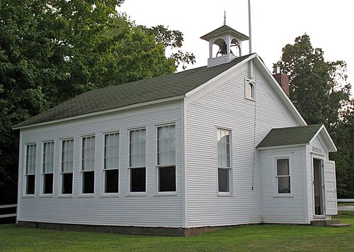
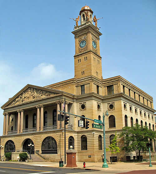
Stark County Ohio (Page 2) has 39 places on the National Register of Historic Places including 2 places of National significance and 8 places of Statewide significance. Significant places include McKinley, William, Tomb, Seven Ranges Terminus, Mellett-Canton Daily News Building, Old McKinley High School and Palace Theater.
Many famous people are associated with these Stark County historic places including William McKinley, Col. Thomas Hutchins, Thomas Rotch, Harry S. Renkert, Edward J. Meyer and Walter S. Putman.
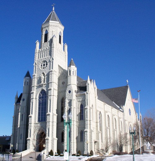
Some of the country's most noteable architects helped create the Stark County places including Harold Van BUren Magonigle, Henry Meyer, Wrought Iron Bridge Co., John Eberson, George F. Hammond, Roller, Scott, Zimboli Inc., John Bell, Jacob Stambaugh, Guy Tilden and Father Louis Hoffer. Prominent architectural styles found in Stark Country are Gothic, Greek Revival and Federal.
Historic Significance:
Person
Historic Person:
McKinley,William
Area of Significance:
Politics/Government
Period of Significance:
1900-1924
Historic Function:
Funerary
Historic Sub-function:
Cemetery
Current Function:
Funerary
Current Sub-function:
Cemetery
The McKinley National Memorial is the final resting place of William McKinley, the 25th President of the United States, who served from 1897 until his tragic assassination in September 1901. Located in Canton, Ohio-the city where McKinley established his legal career, served as a U.S. Representative, and conducted his famous 1896 "Front Porch Campaign"-the monument stands as a testament to the profound national grief and reverence that followed his untimely death. Funded through a massive public subscription campaign that garnered contributions from millions of citizens worldwide, including school children, the memorial was constructed between 1905 and 1907. It was dedicated on September 30, 1907, by President Theodore Roosevelt, McKinley's successor, and remains a powerful symbol of early 20th-century American patriotism, executive mourning, and Canton's deep historical association with the president.
Architecturally, the monument is a premier example of Beaux-Arts and Classical Revival design, conceived by the renowned architect Harold Van Buren Magonigle. The imposing, circular domed mausoleum is constructed of pink Milford granite and rises seventy-five feet above the crest of Monument Hill, dominating the local landscape. Visitors ascend a monumental grand staircase of 108 steps, which is flanked by a sweeping, grass-lined plaza and a reflective pool designed to resemble a double-handled sword, symbolizing McKinley's service as a Union officer in the Civil War. Inside the mausoleum, the double sarcophagi of President McKinley and his wife, Ida Saxton McKinley, are carved from dark green Windsor granite and rest upon a pedestal of black marble, illuminated by a stunning stained-glass skylight featuring the seals of the United States and the State of Ohio.
Historic Significance:
Person
Historic Person:
Hutchins,Col. Thomas
Area of Significance:
Exploration/Settlement
Period of Significance:
1750-1799
Historic Function:
Landscape
Historic Sub-function:
Underwater
Current Function:
Recreation And Culture
Current Sub-function:
Monument/Marker
The Seven Ranges Terminus, located on the boundary of Stark and Carroll counties near Magnolia, Ohio, marks the westernmost point of the historic "Geographer's Line," the baseline for the first rectangular land survey in United States history. Established under the Land Ordinance of 1785, this revolutionary survey system was designed to divide the Northwest Territory into square townships to facilitate orderly settlement and federal land sales. Beginning at the "Point of Beginning" on the Ohio-Pennsylvania border, Geographer of the United States Thomas Hutchins surveyed the baseline due west for exactly 42 miles-the width of seven ranges, each six miles wide. The survey team reached this western terminus in 1786, establishing a critical pivot point from which the westernmost boundary of the Seven Ranges was run south to the Ohio River.
As the terminus of the first baseline of the Public Land Survey System (PLSS), the site holds immense national significance in the history of American cartography, public policy, and westward expansion. The PLSS, pioneered at this location, replaced the chaotic and dispute-prone metes-and-bounds system of the original thirteen colonies, ultimately shaping the geographic, legal, and agricultural layout of over 1.5 billion acres of the American West. Marked by a stone monument, the Seven Ranges Terminus stands as a physical testament to the birth of the federal land system, representing the precise point where the mathematical organization of the United States grid system truly began to expand westward. It was listed on the National Register of Historic Places in 1976.


.JPG)
.JPG)
.JPG)
.JPG)
.JPG)
.JPG)
.JPG)
_2.JPG)
.JPG)
.JPG)
.JPG)
.JPG)
.JPG)
.JPG)
.JPG)
_edit.JPG)
.JPG)
.JPG)
.JPG)
.JPG)